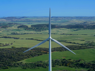
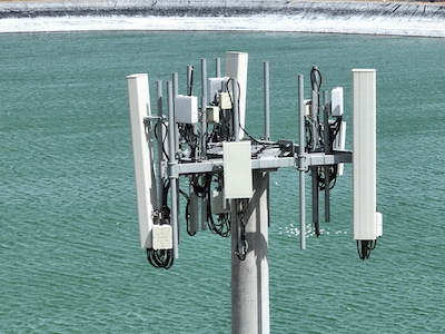
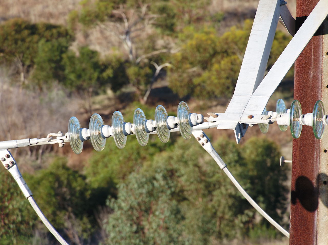
Southern Drones offers a low cost way to inspect assets such as towers, aerials, antennas and roofs. Our UAVs are also a very efficient way to record footage for insurance purposes, etc. Our drones are equipped with zoom cameras, which allows us to maintain a safe distance away from powerlines, antennas, turbine blades, radio transmitters while still obtaining accurate and clear photos and video footage where required. We can create 3d models of the asset. We always have a backup drone on site. Thermal camera inspection capability also available.
Southern Drones provides inspection services country-wide. Please give us a call any time to discuss your needs.
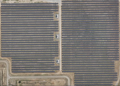
Southern Drones operates high resolution camera on our RPAs. For the large majority of aerial photography and filming, these provide very high quality photos (at resolutions of up to 5472 x 3648 pixels and 4k hd footage (@60fps), while minimising impact on local inhabitants.
Southern Drones is run by a professional helicopter pilot with many hours of experience of conducting searches. We understand the correct methods of searching an area and ensuring that it is adequately viewed and marked as completed.
Drones can be extremely effective in searching areas such as ravines, gullies and small areas where access is difficult. Police services and search agencies around the world are discovering how effective and efficient it is to use drones to accomplish these searches. As well as being effective, the cost to operate is much lower than using a helicopter and risk to personnel and rescue crew is much lower. WE HAVE THERMAL CAMERAS AND APPROVALS TO OPERATE AT NIGHT . Able to mirror remote display to a screen for operations coordinator, etc.
We are currently developing new technologies to aid with remote area emergency searches.
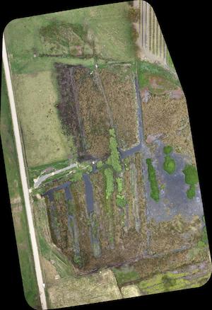
Using our software it is possible to conduct searches with images of 3 cm per pixel from 100m altitude.
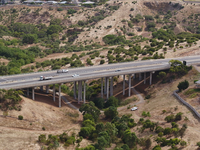
Southern Drones can offer mapping and survey data acquisition services. Give us a call any time to discuss your needs. We are professional and affordable. Providing 2d orthomosaic maps and 3d models through third party software.